
The Design Behind the Roadway
Civil Engineering / Bridge & Roadway Design
Oklahoma
2024 & 2026
Aerial Videography, Aerial Photography
Aerial project photography, Website header films
Project photography and website header films for Collins & Steel Engineering, a bridge and roadway design firm, across two engagements in 2024 and 2026.
Made to run without sound as the header film on the firm's website. It moves from downtown Oklahoma City interchanges to rural highway corridors, river crossings, an active construction site, and bridges seen straight down.
Full film description
The film runs 2:50 with no sound and no on-screen text.
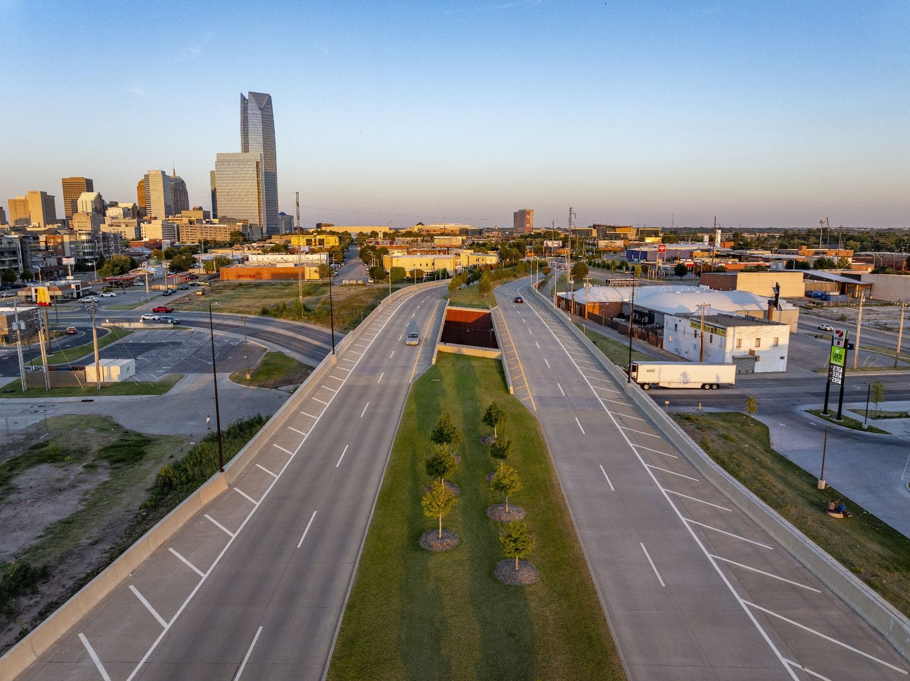
0:00 to 0:29. The downtown Oklahoma City skyline above a highway interchange as a freight train crosses a rail bridge in late sun. A truck on a rural highway. A long bridge over open water at sunset, a rural highway, and a car crossing a low bridge between rocky banks. A city interchange beside a large parking lot, then an elevated highway passing a park pond below the skyline.
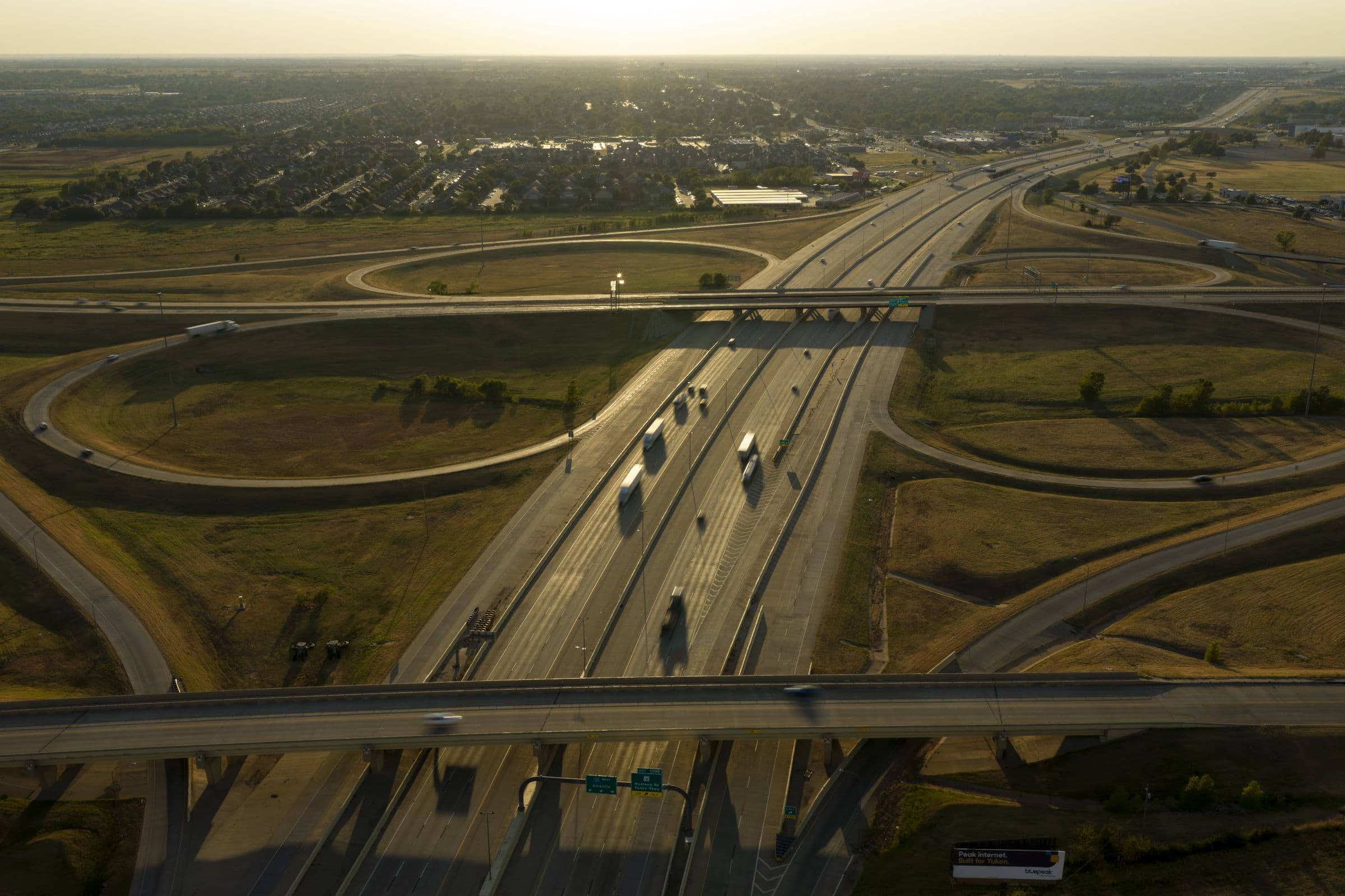
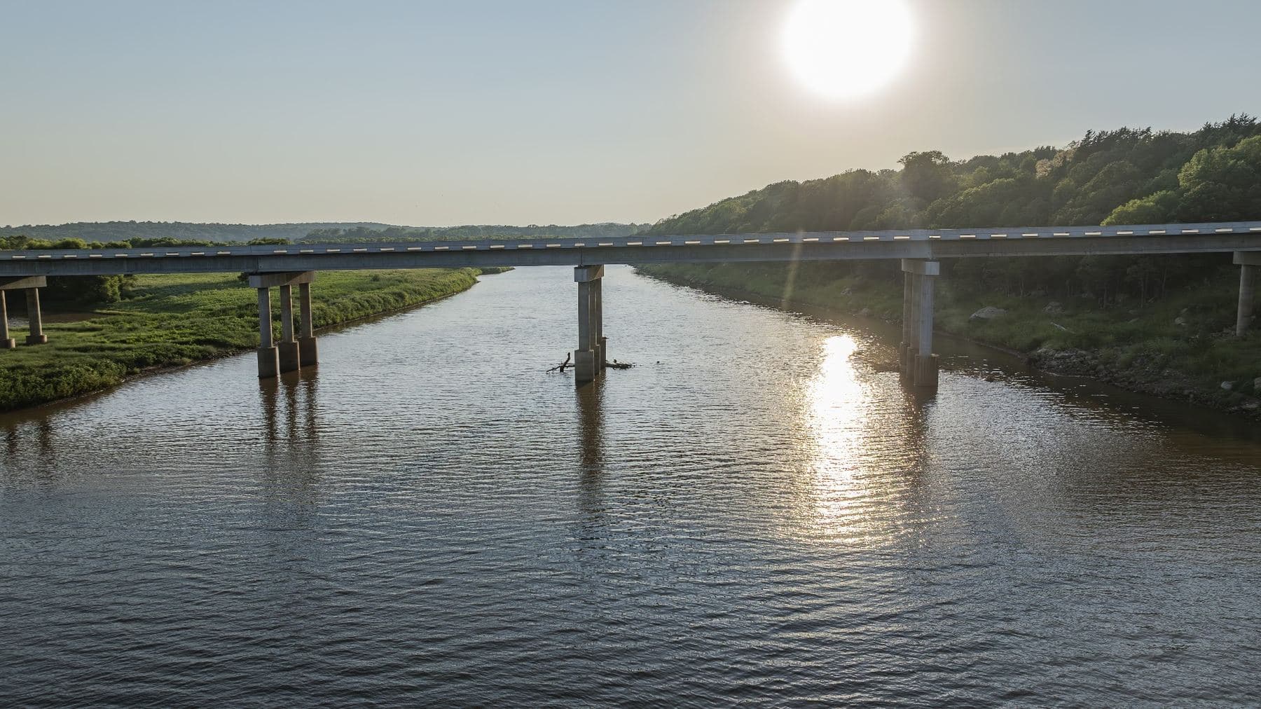
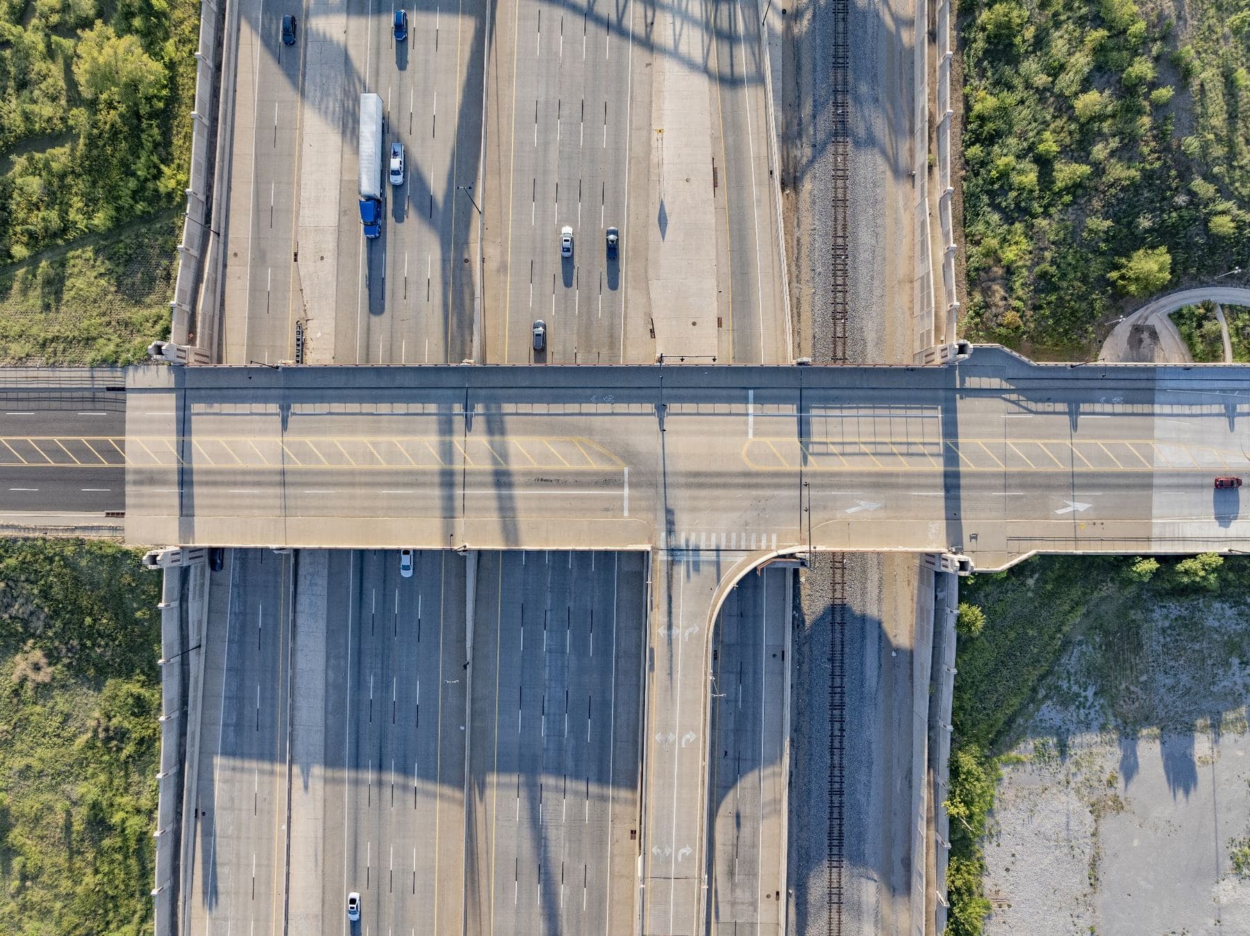
0:29 to 1:04. Farm fields at dusk with a highway running through them. A bridge over a red dirt river lined with trees, and another over a wooded drainage. An elevated highway on piers above railroad tracks, a brief look down at downtown ramps, and an overpass crossing a multi lane highway beside a loop ramp. The curving ramps of a large interchange across freshly graded ground.
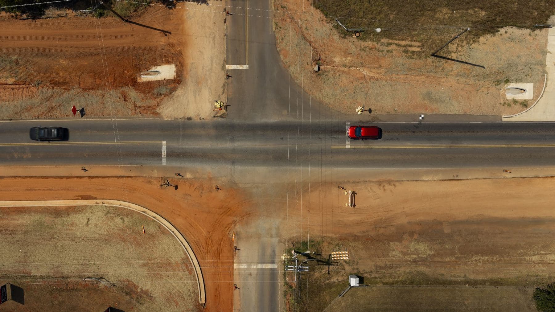
1:04 to 1:48. An interstate passing under an overpass at dusk. A bridge across a wooded valley and a long highway bridge over a river. A busy signalized intersection beneath a highway overpass. Bridges over a rocky drainage and across a lake, a highway corridor through trees, a bridge over a red river, and a truck on a rural highway at sunset.
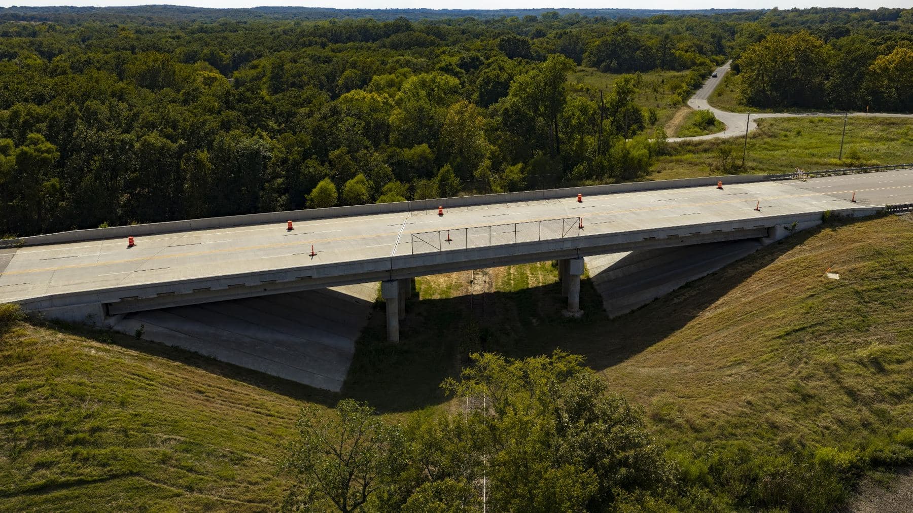
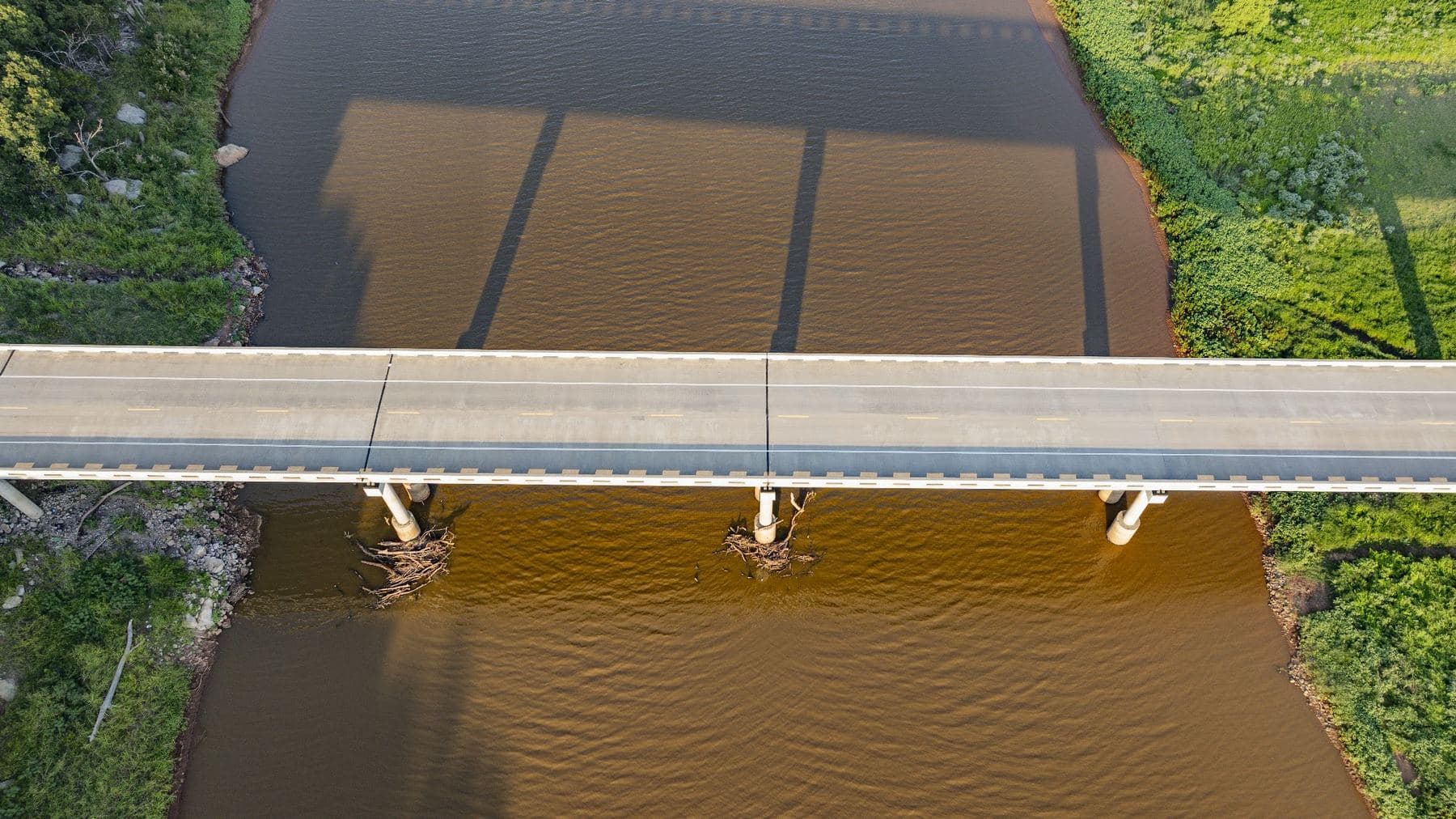
1:48 to 2:29. A ramp curving on piers above a grassy loop and a road running through town. A long look straight down at twin bridges carrying a divided road over a street. An active construction site with excavators, loaders, and trucks. Trucks crossing a highway above a concrete underpass, a straight down view of a concrete deck edge against rock riprap, a bridge over a creek, and an interchange on graded ground at dusk.
2:29 to 2:50. Flyover ramps at a large urban interchange, a road curving through trees, and the intersection beneath the overpass once more. The film closes on a slow pass along a long bridge over a wide red river, its piers casting shadows on the water, and cuts to black.
The Project
Collins & Steel Engineering designs bridges and roadways, and the best view of that work is from a place no one can stand. In 2024, when the firm was still Collins Structural Design and building a new website, it needed imagery that could show its design experience: how each bridge ties into the roadway around it, and how a project reads as a whole.
For that first engagement the firm chose the bridges, sent exact locations, and named the views that mattered most: an angled overhead, a straight down frame, and a look from below where it was safe to get one. We captured the bridges from the air and delivered an edited photography set and a header film for the new site.
In 2026 the firm, renamed Collins & Steel Engineering, came back with five roadway projects, one of them still under construction. The planning came first: a route built around the project limits the firm supplied, airspace requirements, an active work zone, and the light and weather at each site. The flying followed over three days in September and produced new project photography and the header film above.
Hyped Visuals handled the planning, aerial capture, photography, and editing across both engagements.
Why It Needs to Be Seen From Above
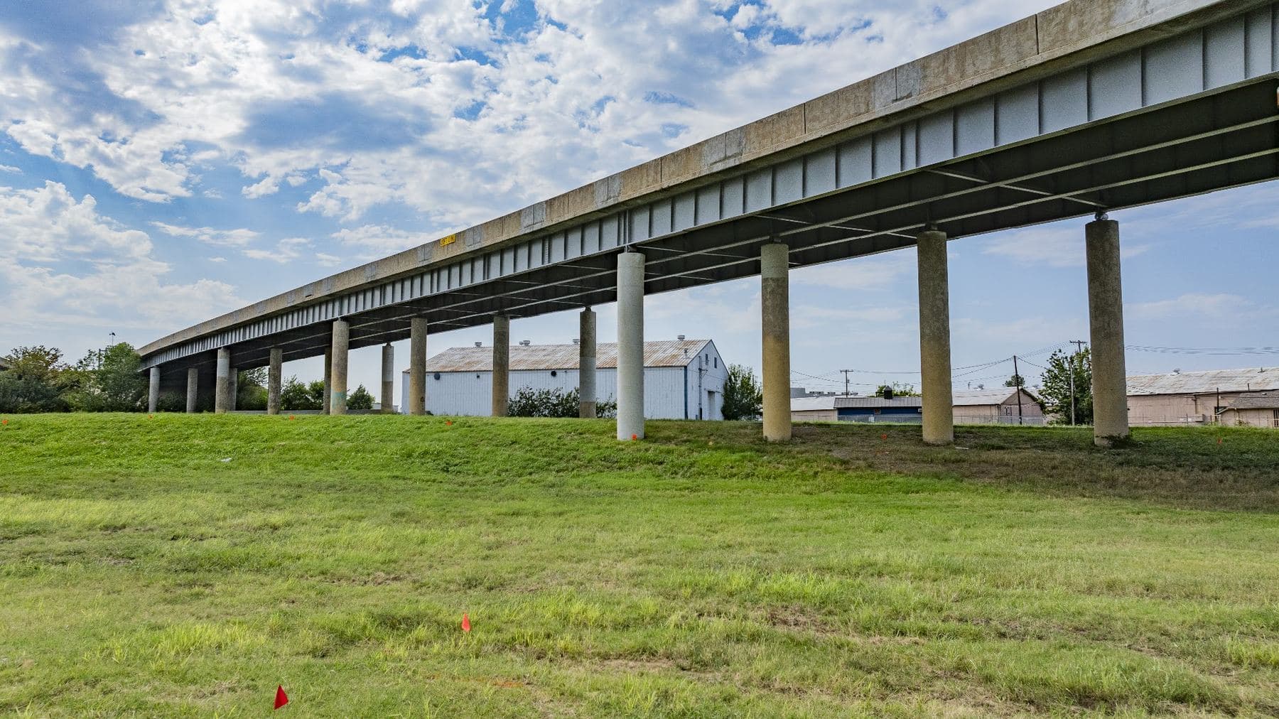
From the ground, a bridge is a few hundred feet of guardrail and an interchange is a sequence of signs. The scale of the work, the geometry of the ramps, and the precision of how everything ties together only become visible from the air.
How We Shot It
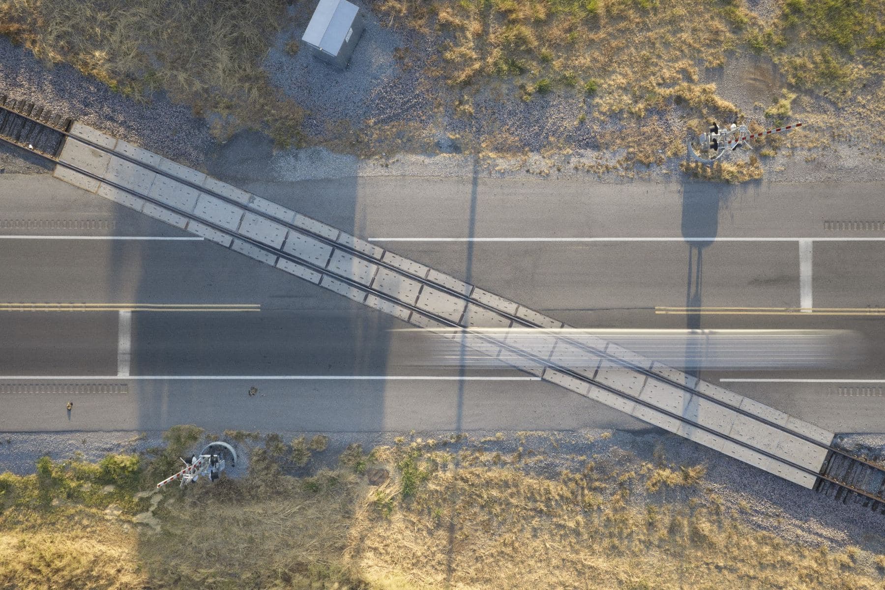
Golden hour passes over the interchanges, timed for long shadows that give flat terrain depth and separate each ramp from the next. Straight down frames that turn bridges and intersections into clean graphic shapes. Low passes along a structure to show its piers and span. Long runs down open corridors that follow a route as it moves through the landscape.
Every flight was flown under our FAA Part 107 certification.
Corridors and construction
September 2026: active roadwork, highway structures seen straight down, and new bridges along rural corridors.
Bridges and the city
Aerial stills from the 2024 engagement: river crossings, elevated highways, and roadways near downtown Oklahoma City.
Work that's hard to show from the ground?
Bridges, corridors, facilities, and job sites read differently from the air. If your work is easier to understand at scale, let's talk about how to capture it.